If you use Google Maps and search for Blackmud Creek Ravine, it directs you to two different spots. One on the west side - if you are coming from the west, and another spot on the other side of the ravine if you are coming from the east. I started my hike from the east side from Big Bear Park on 109 St by the Church of Jesus Christ of the Latter Day Saints. If starting from the west side, Google Maps directs you to the entrance of Running Creek Road. You can walk into the Blackmud Creek Pedestrian Bridge. I assume there are some trails north or south. I didn't know what to expect, but I found out pretty quick.
 |
Looking west, there is a narrow dirt trail leading down into the ravine. It is fairly steep.
|
When I arrived I was looking for trail markers or anything like that and there is nothing down here in this section of the ravine. Other than the pedestrian bridge near 111 St that crosses Blackmud Creek there doesn't seem to be any "official" trails in this area. North of 111 St, I think there are only narrow goat path type dirt trails and they are not comprehensive, serving the east side. A fair number of people walk in this park as the single file trails that exist seem to be well defined. When I was down there I ran into some parents and children, along with people walking dogs. It was not busy at all and quite wild. You will be forced to push through encroaching vegetation so check for ticks and such later. Entering and exiting the ravine has steep slopes on dirt track that run straight up so if you have mobility or foot issues - don't go here!
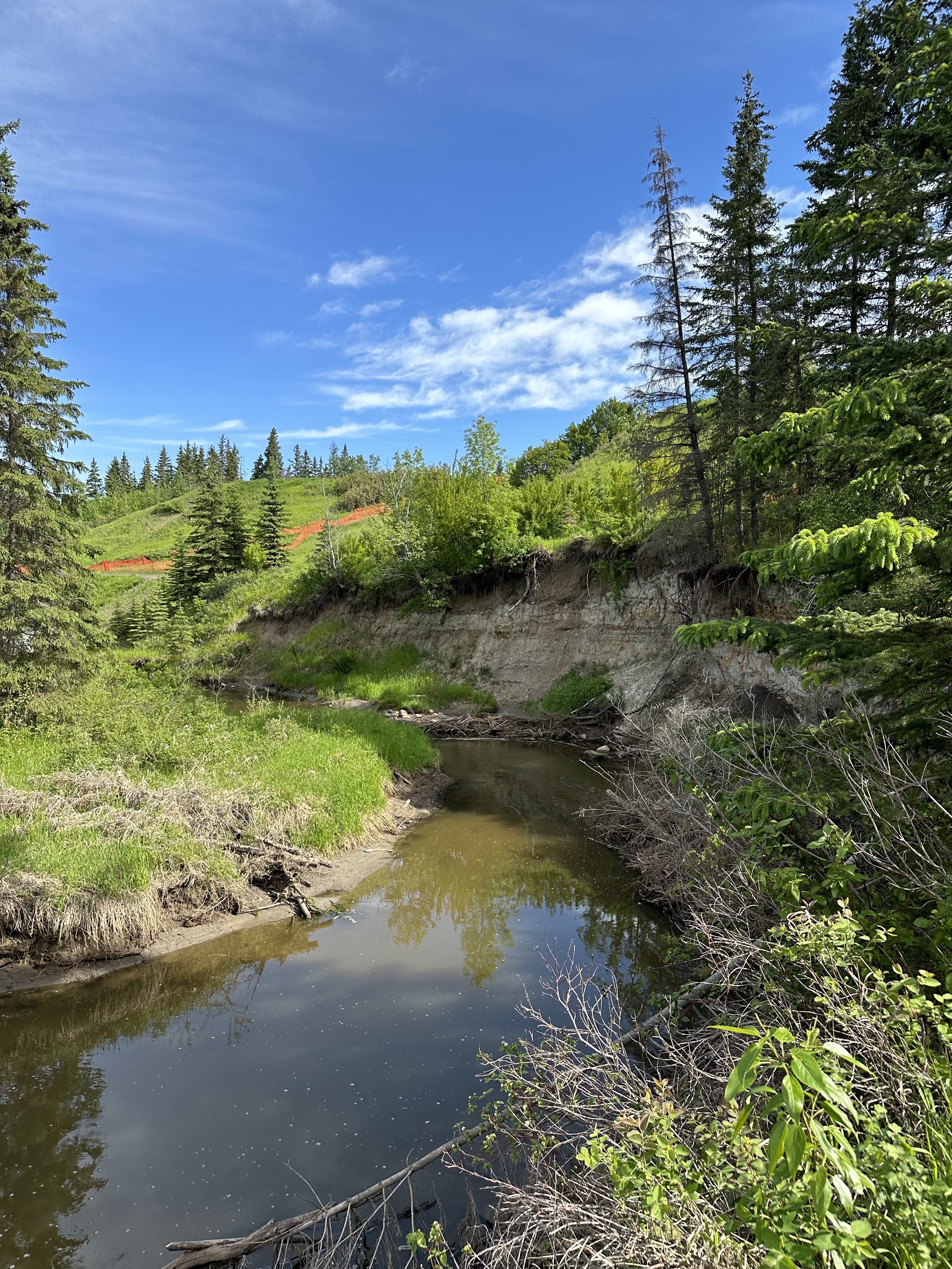
The creek winds heavily through the entire ravine and there are many ponds created by beaver dams. I didn't see any beavers late in the morning, but you are more likely to see them in the early morning or evening. There are no bridges across the creek other than the pedestrian bridge by 111 St. I walked south from where I entered and exited where the trail ends to the southeast and walked back along the top of the ravine there there is grassland and paved trails. The exit to the south was blocked by hay bales so I have no idea what is going on as there is no signage for this or anything else. The trails are very well marked in Pokemon Go which uses Open Street Map.
I'll show a bunch of photos now of the walk and it was very pretty in certain places. Very quiet overall as it isn't crowded.
 |
Looking back up the trail down into the valley.
|
 |
Blackmud Creek with a beaver dam. To see this walk straight down into the ravine from before and don't stop going straight until you see the creek.
|
 |
Here is a beaver lodge on the bank of the pond formed by the beaver dam earlier.
|
 |
There were a few ducks down here.
|
 |
Stormwater runoff feeds the creek.
|
 |
The steep sides to the creek in many places. It is very bendy in its meandering.
|
 |
Narrow trail. There was a whole bunch of honeysuckle here. I wonder if there was a house in the past in this area.
|
 |
The creek and another dam.
|
 |
Typical narrow trail in another section.
|
 |
Near the south end by the Anthony Henday. See the power line towers.
|
 |
The trail pretty much leads you back out in this big fields just north of the power lines.
|
 |
After walking on the grass along the east edge of the ravine you find paved walk on the way north.
|
 |
Another view down into the ravine near south of where I parked.
|
This is an interesting little walk. It took 30 - 40 minutes, but I walked pretty steady while taking breaks for photos. I'm not sure I'd do this walk again in the near future as it wasn't amazing or anything like that. There are other places I'd also like to explore.
Other Edmonton Sights
A Tokyo Excess Guide To Edmonton Canada
Exotic Trees on the University of Alberta Campus
Walking in Whitemud Ravine Park and I Want To Visit Mt. Takao Someday
Walking the Hiking Trails of Edmonton's Mill Creek Ravine Park
Blackmud Creek Ravine Hike


Comments
Post a Comment